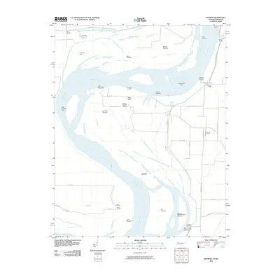
2010 Map of Mooring
USGS Topo · Published 2010About this map
The Mississippi River meanders through this borderland between Tennessee and Missouri, defining a landscape of shifting channels, towheads, and bars. This 2010 survey illustrates the river's dynamic nature through features like the Lee Towhead and Joe Eckles Towhead, alongside man-made interventions such as the Lee Towhead Revetment and Rons Dam. Historical river access points are preserved in the naming of riverfront sites like Riley Landing, Burrus Landing, and Cherokee Landing.
Find a feature on this map
43 named features on this map. Tap any name to fly to it.
Don’t see what you’re looking for? This feature index may not catch every label — zoom into the map to look around manually.
Map Details
Editions of this 2010 Mooring Map
This is the sole edition of this map. No revisions or reprints were ever made.
Other maps of this area

1925 · Reelfoot Lake
USGS Topo · 1:62,500

1939 · Reelfoot Lake
USGS Topo · 1:62,500

1939 · Portageville
USGS Topo · 1:62,500

1939 · Dyersburg
USGS Topo · 1:62,500

1939 · Caruthersville
USGS Topo · 1:62,500

1951 · Caruthersville
USGS Topo · 1:62,500

1952 · Miston
USGS Topo · 1:24,000

1955 · Portageville
USGS Topo · 1:62,500

1956 · Reelfoot Lake
USGS Topo · 1:62,500

1956 · Dyersburg
USGS Topo · 1:250,000