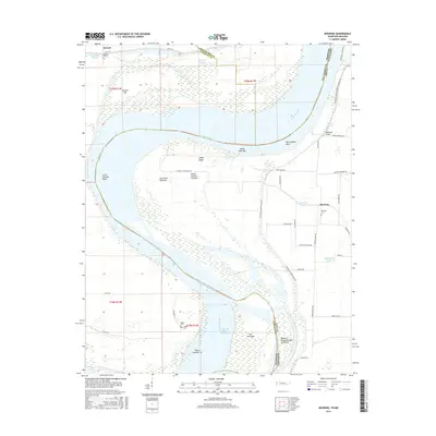
2016 Map of Mooring
USGS Topo · Published 2016About this map
The Mississippi River defines the shifting boundary between Tennessee and Missouri in this 2016 survey, carving a complex landscape of bars, bends, and chutes. At Merriwether Bend and Little Cypress Bend, the river's path is marked by significant features like Joe Eckles Towhead and Island Number Thirteen. The Tennessee side in Lake County is characterized by a network of drainage ways including Blue Bank Bayou and Mooring Bayou, protected by the Tiptonville Obion Levee Rd. Small settlements like Mooring and Stewart are situated on higher ground, often associated with family-named landmarks and historical burial grounds. Genealogists will find interest in several small cemeteries, such as Organ Cem, Wagner Cem, and Mooring Cem, which anchor the local history of these riverfront agricultural communities.
Find a feature on this map
51 named features on this map. Tap any name to fly to it.
Don’t see what you’re looking for? This feature index may not catch every label — zoom into the map to look around manually.
Map Details
Editions of this 2016 Mooring Map
This is the sole edition of this map. No revisions or reprints were ever made.
Other maps of this area

1925 · Reelfoot Lake
USGS Topo · 1:62,500

1939 · Reelfoot Lake
USGS Topo · 1:62,500

1939 · Portageville
USGS Topo · 1:62,500

1939 · Dyersburg
USGS Topo · 1:62,500

1939 · Caruthersville
USGS Topo · 1:62,500

1951 · Caruthersville
USGS Topo · 1:62,500

1952 · Miston
USGS Topo · 1:24,000

1955 · Portageville
USGS Topo · 1:62,500

1956 · Reelfoot Lake
USGS Topo · 1:62,500

1956 · Dyersburg
USGS Topo · 1:250,000