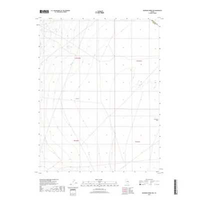
2018 Map of Moorman Spring NW
USGS Topo · Published 2018About this map
The expansive White River Valley floor dominates this high-desert terrain on the boundary of eastern Nevada. This 2018 survey documents a landscape of subtle relief and drainage patterns within the Great Basin, where the county line between White Pine Co and Nye Co cuts diagonally across the northern reaches. The terrain transitions into a distinct topographical indentation known as The Cove, which provides a geographical break along the western elevations. While largely devoid of permanent settlements or structures, the map meticulously charts the public land survey system grid, including townships t10n r60e and t9n r61e, essential for modern land-use research and historical property surveys in this part of the state.
Find a feature on this map
7 named features on this map. Tap any name to fly to it.
Don’t see what you’re looking for? This feature index may not catch every label — zoom into the map to look around manually.
Map Details
Editions of this 2018 Moorman Spring NW Map
This is the sole edition of this map. No revisions or reprints were ever made.
Other maps of this area

1956 · Lund
USGS Topo · 1:250,000

1957 · Currant Mtn
USGS Topo · 1:62,500

1960 · Lund
USGS Topo · 1:250,000

1964 · Currant
USGS Topo · 1:62,500

1964 · Currant Mtn
USGS Topo · 1:62,500

1969 · Moorman Spring SE
USGS Topo · 1:24,000

1969 · Moorman Spring NW
USGS Topo · 1:24,000

1969 · Moorman Spring
USGS Topo · 1:24,000

1969 · Moorman Spring NE
USGS Topo · 1:24,000
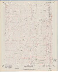
1978 · Lund
USGS Topo · 1:24,000