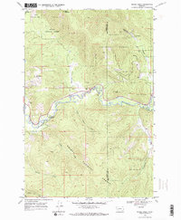
1968 Map of Moose Creek
USGS Topo · Published 1971About this map
Blackfoot River corridors and high mountain peaks define this stretch of the Helena National Forest along the Powell and Lewis and Clark County line. The map captures a landscape transitioning between remote wilderness and active resource extraction in the late 1960s. High points like Black Mountain and Kershaw Mountain overlook a network of drainages including Sauerkraut Creek and Little Moose Creek.
Find a feature on this map
21 named features on this map. Tap any name to fly to it.
Don’t see what you’re looking for? This feature index may not catch every label — zoom into the map to look around manually.
Map Details
Editions of this 1968 Moose Creek Map
2 editions found
Other maps of this area

1889 · Helena
USGS Topo · 1:250,000

1893 · Helena
USGS Topo · 1:250,000

1899 · Helena
USGS Topo · 1:250,000

1903 · Coopers Lake
USGS Topo · 1:125,000

1903 · Helena
USGS Topo · 1:250,000

1947 · Butte
USGS Topo · 1:250,000

1955 · Choteau
USGS Topo · 1:250,000

1957 · Choteau
USGS Topo · 1:250,000

1958 · Butte
USGS Topo · 1:250,000

1958 · Choteau
USGS Topo · 1:250,000