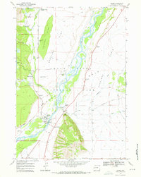
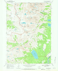
1968 Map of Moose
USGS Topo · Published 1972About this map
Snake River braiding and glacial remnants dominate this 1960s study of the central valley within Grand Teton National Park. The landscape reveals a complex layer of early 20th-century history, featuring the Bar B C Ranch and the site of Menors Ferry near the settlement of Moose. The presence of Mormon Row and the Chapel of the Transfiguration indicates the established community roots that predated the park's later development.
Find a feature on this map
44 named features on this map. Tap any name to fly to it.
Don’t see what you’re looking for? This feature index may not catch every label — zoom into the map to look around manually.
Map Details
Editions of this 1968 Moose Map
2 editions found
Other maps of this area

1899 · Grand Teton
USGS Topo · 1:125,000

1901 · Grand Teton
USGS Topo · 1:125,000

1955 · Driggs
USGS Topo · 1:250,000

1958 · Driggs
USGS Topo · 1:250,000

1962 · Driggs
USGS Topo · 1:250,000
1968 · Teton Village
USGS Topo · 1:24,000

1968 · Moose
USGS Topo · 1:24,000
1968 · Blue Miner Lake
USGS Topo · 1:24,000
1968 · Shadow Mountain
USGS Topo · 1:24,000
1968 · Grand Teton
USGS Topo · 1:24,000