
1957 Map of Moosehead Lake
USGS Topo · Published 1959About this map
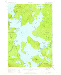
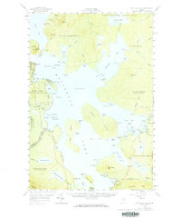
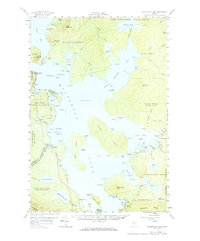
Mt Kineo rises dramatically over the waters of Moosehead Lake, marking a landscape defined by timber tracts and early recreation in the late 1950s. The map illustrates a region organized by historic township and grant boundaries, including the East Middlesex Canal Grant and Days Academy. Transport in this remote interior relied on the Canadian Pacific railroad, which skirts the western shore near Rockwood, and a network of secondary roads and a Jeep Trail leading toward the northern peaks. At the lake's southern reaches, the Kennebec River begins at the West Outlet and East Outlet, where a Gaging Sta monitors the flow. From the established settlement of Greenville to the protected grounds of Lily Bay State Park, this survey captures the transition of the Maine woods from a working logging frontier to a destination for conservation and sport.
Find a feature on this map
123 named features on this map. Tap any name to fly to it.
Don’t see what you’re looking for? This feature index may not catch every label — zoom into the map to look around manually.
Map Details
Editions of this 1957 Moosehead Lake Map
4 editions found
Other maps of this area

1905 · The Forks
USGS Topo · 1:62,500

1907 · The Forks
USGS Topo · 1:62,500

1920 · Moosehead Lake
USGS Topo · 1:62,500

1921 · Brassua Lake
USGS Topo · 1:62,500

1922 · Moosehead Lake
USGS Topo · 1:62,500

1923 · Brassua Lake
USGS Topo · 1:62,500

1930 · Moosehead Lake
USGS Topo · 1:62,500

1944 · Brassua Lake
USGS Topo · 1:62,500

1944 · Moosehead Lake
USGS Topo · 1:62,500

1950 · Sebec Lake
USGS Topo · 1:62,500