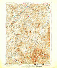
1932 Map of Moosilauke
USGS Topo · Published 1932About this map
Mt Moosilauke anchors this 1930s survey, representing a high-altitude intersection of recreational and scientific history in the White Mountains. The summit is clearly marked with the Tiptop House and a Fire Tower, while the early path of the Appalachian Trail winds through the high terrain. To the north and west, the Ammonoosuc River and its various tributaries, such as Salmon Hole Brook, dictate the location of settlements like Lisbon and Sugar Hill.
Find a feature on this map
100 named features on this map. Tap any name to fly to it.
Don’t see what you’re looking for? This feature index may not catch every label — zoom into the map to look around manually.
Map Details
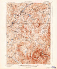
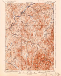
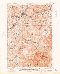
Editions of this 1932 Moosilauke Map
5 editions found

Other maps of this area

1900 · Whitefield
USGS Topo · 1:62,500

1928 · Plymouth
USGS Topo · 1:62,500

1928 · Rumney
USGS Topo · 1:62,500

1929 · Moosilauke
USGS Topo · 1:62,500

1929 · Franconia
USGS Topo · 1:62,500

1931 · Mt. Cube
USGS Topo · 1:62,500

1931 · Littleton
USGS Topo · 1:62,500

1931 · Plymouth
USGS Topo · 1:62,500

1931 · Woodsville
USGS Topo · 1:48,000

1932 · Franconia
USGS Topo · 1:62,500