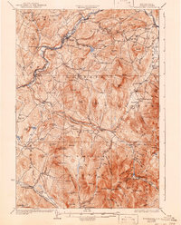
1932 Map of Moosilauke
USGS Topo · Published 1943About this map
The high peaks of the White Mountain National Forest dominate this landscape, where the Mt Moosilauke summit is marked by the Tiptop House and a Fire Tower. Settlement is concentrated in the river valleys, particularly along the Ammonoosuc River at Lisbon and Bath, where the Boston and Maine RR provided critical transport links. The map reveals a dense network of early 20th-century rural infrastructure, including numerous district schools like Salmon Hole Sch and Blue Sch, alongside the specialized complex of the State Sanitarium in the south.
Find a feature on this map
113 named features on this map. Tap any name to fly to it.
Don’t see what you’re looking for? This feature index may not catch every label — zoom into the map to look around manually.
Map Details
Editions of this 1932 Moosilauke Map
5 editions found

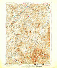
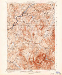
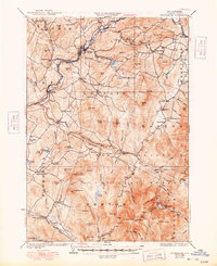
Other maps of this area

1900 · Whitefield
USGS Topo · 1:62,500

1928 · Plymouth
USGS Topo · 1:62,500

1928 · Rumney
USGS Topo · 1:62,500

1929 · Moosilauke
USGS Topo · 1:62,500

1929 · Franconia
USGS Topo · 1:62,500

1931 · Mt. Cube
USGS Topo · 1:62,500

1931 · Littleton
USGS Topo · 1:62,500

1931 · Plymouth
USGS Topo · 1:62,500

1931 · Woodsville
USGS Topo · 1:48,000

1932 · Franconia
USGS Topo · 1:62,500