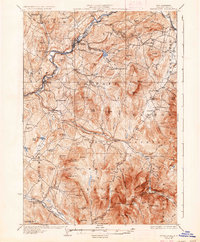
1932 Map of Moosilauke
USGS Topo · Published 1937About this map
The Ammonoosuc River carves a deep valley through this White Mountains landscape, serving as a corridor for the Boston and Maine RR and the Dartmouth College Highway. The map reveals a decentralized network of rural life, marked by numerous small schoolhouses like the Ireland Sch and Pettyboro Sch that once served the scattered hill farms of Landaff and Benton.
Find a feature on this map
110 named features on this map. Tap any name to fly to it.
Don’t see what you’re looking for? This feature index may not catch every label — zoom into the map to look around manually.
Map Details
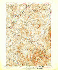
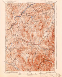
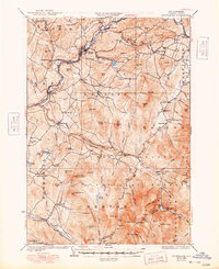
Editions of this 1932 Moosilauke Map
5 editions found

Other maps of this area

1900 · Whitefield
USGS Topo · 1:62,500

1928 · Plymouth
USGS Topo · 1:62,500

1928 · Rumney
USGS Topo · 1:62,500

1929 · Moosilauke
USGS Topo · 1:62,500

1929 · Franconia
USGS Topo · 1:62,500

1931 · Mt. Cube
USGS Topo · 1:62,500

1931 · Littleton
USGS Topo · 1:62,500

1931 · Plymouth
USGS Topo · 1:62,500

1931 · Woodsville
USGS Topo · 1:48,000

1932 · Franconia
USGS Topo · 1:62,500