
1932 Map of Moosilauke
USGS Topo · Published 1932About this map
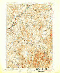
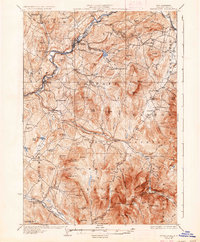
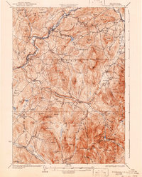
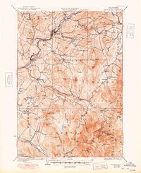
The White Mountain National Forest dominates this early 1930s landscape, where steep peaks and deep ravines define the settlement patterns of Grafton County. The Ammonoosuc River and its various branches, including the Wild Ammonoosuc River, provide the primary corridors for transport and industry, served by the Boston and Maine Railroad through towns like Lisbon and Bath. Notable landmarks of the era include the State Sanitarium and the high-altitude Tiptop House, while a Fire Tower on Black Mountain underscores the region's managed wilderness.
Find a feature on this map
111 named features on this map. Tap any name to fly to it.
Don’t see what you’re looking for? This feature index may not catch every label — zoom into the map to look around manually.
Map Details
Editions of this 1932 Moosilauke Map
5 editions found
Other maps of this area

1900 · Whitefield
USGS Topo · 1:62,500

1928 · Plymouth
USGS Topo · 1:62,500

1928 · Rumney
USGS Topo · 1:62,500

1929 · Moosilauke
USGS Topo · 1:62,500

1929 · Franconia
USGS Topo · 1:62,500

1931 · Mt. Cube
USGS Topo · 1:62,500

1931 · Littleton
USGS Topo · 1:62,500

1931 · Plymouth
USGS Topo · 1:62,500

1931 · Woodsville
USGS Topo · 1:48,000

1932 · Franconia
USGS Topo · 1:62,500