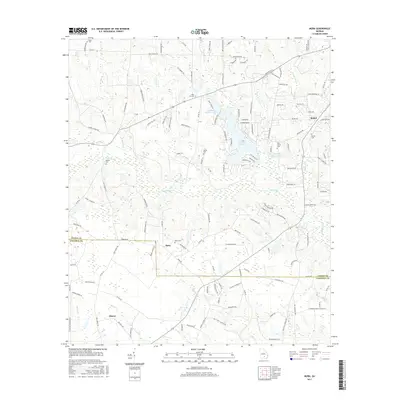
2017 Map of Mora
USGS Topo · Published 2017About this map
The Satilla River meanders across this landscape south of Douglas, defining the boundary between Coffee and Atkinson counties. Small settlements and rural homesteads are scattered throughout the region, with the community of Mora serving as a central point along the northern edge of the Atkinson County line. The area is heavily marked by its genealogical landscape, containing numerous family and community burial grounds such as John Carver Cem, Saint Illa Cem, and Hebron Cem.
Find a feature on this map
141 named features on this map. Tap any name to fly to it.
Don’t see what you’re looking for? This feature index may not catch every label — zoom into the map to look around manually.
Map Details
Editions of this 2017 Mora Map
This is the sole edition of this map. No revisions or reprints were ever made.
Other maps of this area

1953 · Waycross
USGS Topo · 1:250,000

1958 · Waycross
USGS Topo · 1:250,000

1971 · Douglas North
USGS Topo · 1:24,000

1971 · Douglas South
USGS Topo · 1:24,000

1971 · Pearson
USGS Topo · 1:24,000

1972 · Kirkland
USGS Topo · 1:24,000

1972 · Willacoochee
USGS Topo · 1:24,000

1972 · Lax
USGS Topo · 1:24,000

1972 · Ambrose
USGS Topo · 1:24,000

1972 · Mora
USGS Topo · 1:24,000