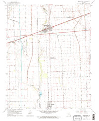
1963 Map of Morehouse
USGS Topo · Published 1964About this map
The Little River and the Castor River dominate this low-lying landscape in the Bootheel region of Missouri, where the drainage patterns of the Otter Slough Ditch intersect with significant rail infrastructure. The intersection of the St Louis San Francisco and the Missouri Pacific railroads defines the layout of Morehouse, a key junction at the time of this early 1960s survey.
Find a feature on this map
25 named features on this map. Tap any name to fly to it.
Don’t see what you’re looking for? This feature index may not catch every label — zoom into the map to look around manually.
Map Details
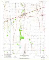
Editions of this 1963 Morehouse Map
2 editions found
Other maps of this area

1931 · Sikeston
USGS Topo · 1:62,500

1934 · Bloomfield
USGS Topo · 1:62,500

1934 · Sikeston
USGS Topo · 1:62,500

1939 · Bloomfield
USGS Topo · 1:62,500

1939 · Sikeston
USGS Topo · 1:62,500

1939 · New Madrid
USGS Topo · 1:62,500

1940 · Malden
USGS Topo · 1:62,500

1949 · Bloomfield
USGS Topo · 1:62,500

1954 · New Madrid
USGS Topo · 1:62,500

1956 · Malden
USGS Topo · 1:62,500