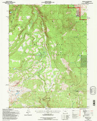
1992 Map of Morgan
USGS Topo · Published 1996About this map
Medicine Bow National Forest dominates this Wyoming landscape, revealing a complex network of high-elevation water bodies and rugged terrain at the start of the 1990s. The small settlement of Morgan sits near the northeastern corner, perched near Cooper Hill and the drainage of Cooper Creek. The map documents a transition from industrial activity to recreational use, showing a Gravel Pit alongside numerous hiking and pack routes like the Tray Trail and Sheep Creek Trail. The high-country hydrology is remarkably dense, featuring Crater Lake, Sevenmile Lake, and Firebox Lake, while the Rock Creek Ridge serves as a prominent vertical divide. Forest Service management is evident through designated landmarks such as the North Fork Observation Point, providing a record of 20th-century land use within this portion of the Snowy Range.
Find a feature on this map
29 named features on this map. Tap any name to fly to it.
Don’t see what you’re looking for? This feature index may not catch every label — zoom into the map to look around manually.
Map Details
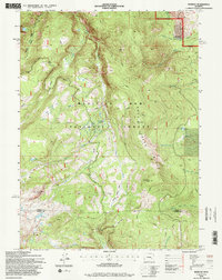
Editions of this 1992 Morgan Map
2 editions found
Other maps of this area

1906 · Medicine Bow
USGS Topo · 1:125,000

1908 · Medicine Bow
USGS Topo · 1:125,000

1954 · Rawlins
USGS Topo · 1:250,000

1958 · Rawlins
USGS Topo · 1:250,000

1958 · White Rock Canyon
USGS Topo · 1:24,000

1958 · Bengough Hill
USGS Topo · 1:24,000

1958 · Arlington
USGS Topo · 1:24,000

1961 · Sand Lake
USGS Topo · 1:24,000
1961 · Strouss Hill
USGS Topo · 1:24,000

1961 · Medicine Bow Peak
USGS Topo · 1:24,000