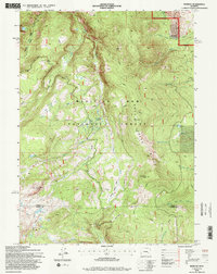
1992 Map of Morgan
USGS Topo · Published 1996About this map
Medicine Bow National Forest dominates this high-altitude landscape in the early 1990s, where the headwaters of several major waterways converge near the Carbon Co Albany Co line. The settlement of Morgan sits near the northeastern boundary, overshadowed by the prominence of Morgan Hill. The terrain is defined by a series of steep drainages, including Rock Creek and the North Fork Laramie River, which originate from alpine sources like Crater Lake and Sevenmile Lake. This area was a focal point for resource management and backcountry access, as evidenced by the network of trails and the Sand Lake Road leading toward Sand Lake. The map details the transition from high ridgelines such as Rock Creek Ridge to protected basins like Clark Park, illustrating the complex hydrology of the Snowy Range foothills.
Find a feature on this map
29 named features on this map. Tap any name to fly to it.
Don’t see what you’re looking for? This feature index may not catch every label — zoom into the map to look around manually.
Map Details
Editions of this 1992 Morgan Map
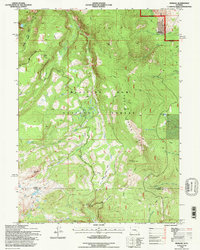
2 editions found
Other maps of this area

1906 · Medicine Bow
USGS Topo · 1:125,000

1908 · Medicine Bow
USGS Topo · 1:125,000

1954 · Rawlins
USGS Topo · 1:250,000

1958 · Rawlins
USGS Topo · 1:250,000

1958 · White Rock Canyon
USGS Topo · 1:24,000

1958 · Bengough Hill
USGS Topo · 1:24,000

1958 · Arlington
USGS Topo · 1:24,000

1961 · Sand Lake
USGS Topo · 1:24,000
1961 · Strouss Hill
USGS Topo · 1:24,000

1961 · Medicine Bow Peak
USGS Topo · 1:24,000