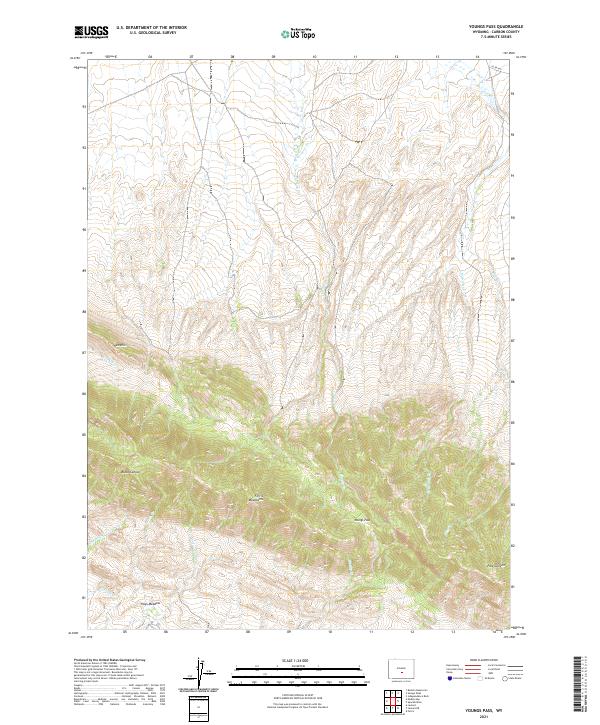
2021 Map of Youngs Pass
USGS Topo · Published 2021About this map
The Ferris Mountains dominate this high-desert landscape in Carbon County, where the terrain transitions through a series of dramatic geographic features. The map illustrates a complex network of seasonal drainage and perennial flow including Whiskey Cr and Cottonwood Cr, which carve through the high elevations. Local landmarks such as the Red Hills and the deep incision of Black Canyon highlight the geological variety of the region.
Find a feature on this map
22 named features on this map. Tap any name to fly to it.
Don’t see what you’re looking for? This feature index may not catch every label — zoom into the map to look around manually.
Map Details
Editions of this 2021 Youngs Pass Map
This is the sole edition of this map. No revisions or reprints were ever made.
Other maps of this area

1951 · Savage Peak
USGS Topo · 1:24,000

1951 · Bucklin Reservoirs
USGS Topo · 1:24,000

1951 · Independence Rock
USGS Topo · 1:24,000

1953 · Ferris
USGS Topo · 1:24,000

1953 · Spanish Mine
USGS Topo · 1:24,000

1955 · Casper
USGS Topo · 1:250,000

1958 · Casper
USGS Topo · 1:250,000

1961 · Lamont NE
USGS Topo · 1:24,000

1961 · Lamont
USGS Topo · 1:24,000

1962 · Casper
USGS Topo · 1:250,000