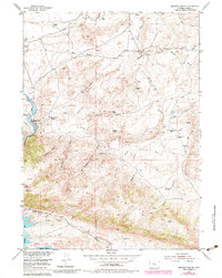
1953 Map of Seminoe Dam NE
USGS Topo · Published 1983About this map
Vivian Ranch and Black Canyon Ranch anchor this landscape of high-desert basins and carved gulches in the early 1950s. The terrain is defined by the Seminoe Mountains rising south of the North Platte River, where the waters of the Seminoe Reservoir meet the rugged Seminoe Canyon. Significant local infrastructure is present, including the Kortes Dam Camp and an isolated Landing Strip, suggesting the remote but active nature of this ranching and water-management district.
Find a feature on this map
53 named features on this map. Tap any name to fly to it.
Don’t see what you’re looking for? This feature index may not catch every label — zoom into the map to look around manually.
Map Details
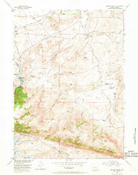
Editions of this 1953 Seminoe Dam NE Map
3 editions found
Other maps of this area

1953 · Leo
USGS Topo · 1:24,000

1953 · Seminoe Dam NE
USGS Topo · 1:24,000

1953 · Seminoe Dam
USGS Topo · 1:24,000

1953 · Seminoe Dam SW
USGS Topo · 1:24,000

1953 · Pathfinder Reservoir SW
USGS Topo · 1:24,000

1953 · Seminoe Dam SE
USGS Topo · 1:24,000

1953 · Fourmile Ridge
USGS Topo · 1:24,000

1953 · Schneider Ridge
USGS Topo · 1:24,000

1953 · Beaver Creek
USGS Topo · 1:24,000

1955 · Casper
USGS Topo · 1:250,000