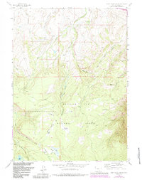
1958 Map of White Rock Canyon
USGS Topo · Published 1984About this map
Medicine Bow National Forest dominates this section of Carbon County, Wyoming, as it appeared in the mid-20th century. The landscape is defined by the high-elevation drainage systems of the East Fork Medicine Bow River and Rock Creek, where numerous parks such as Sawmill Park, Stanley Park, and Racehorse Park suggest a history of high-country grazing and timber activity. The presence of the historic Overland Trail crossing the eastern slopes below Conical Peak provides a direct link to early western migration and transport routes that predated the railroad era.
Find a feature on this map
28 named features on this map. Tap any name to fly to it.
Don’t see what you’re looking for? This feature index may not catch every label — zoom into the map to look around manually.
Map Details
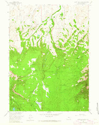
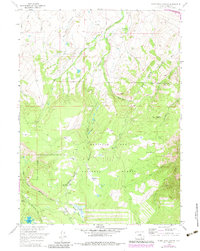
Editions of this 1958 White Rock Canyon Map
4 editions found
Other maps of this area

1906 · Medicine Bow
USGS Topo · 1:125,000

1908 · Medicine Bow
USGS Topo · 1:125,000

1954 · Rawlins
USGS Topo · 1:250,000

1955 · Elk Mountain
USGS Topo · 1:24,000

1955 · Elk Mountain SW
USGS Topo · 1:24,000

1958 · Rawlins
USGS Topo · 1:250,000

1958 · White Rock Canyon
USGS Topo · 1:24,000

1958 · Arlington
USGS Topo · 1:24,000

1958 · Mc Fadden
USGS Topo · 1:24,000

1958 · T L Ranch
USGS Topo · 1:24,000