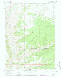
1961 Map of Tullis
USGS Topo · Published 1984About this map
Medicine Bow National Forest dominates this section of Carbon County, Wyoming, showcasing the high-elevation drainage systems of the upper Savery Creek watershed. The settlement at Tullis serves as a lone point of habitation along the northern edge of the Green Ridge uplift. The landscape is defined by its water resources, with a Gaging Sta monitoring Savery Creek and a network of seasonal water sources like Pop Springs and the numerous gullies feeding the larger basins.
Find a feature on this map
20 named features on this map. Tap any name to fly to it.
Don’t see what you’re looking for? This feature index may not catch every label — zoom into the map to look around manually.
Map Details
Editions of this 1961 Tullis Map
3 editions found
Other maps of this area

1932 · Savery
USGS Topo · 1:96,000

1940 · Savery
USGS Topo · 1:125,000

1954 · Rawlins
USGS Topo · 1:250,000

1958 · Rawlins
USGS Topo · 1:250,000

1961 · Divide Peak
USGS Topo · 1:24,000
1961 · Savery
USGS Topo · 1:24,000
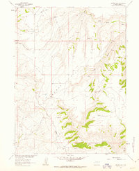
1961 · Browns Hill
USGS Topo · 1:24,000

1961 · Ketchum Buttes
USGS Topo · 1:24,000

1961 · Grieve Reservoir
USGS Topo · 1:24,000
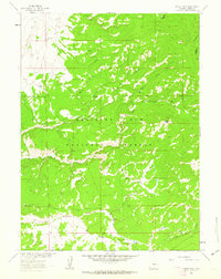
1961 · Singer Peak
USGS Topo · 1:24,000