1961 Map of Tullis
USGS Topo · Published 1973About this map
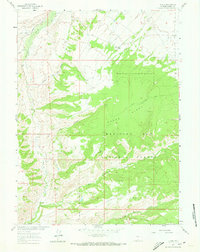
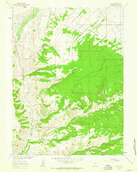
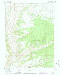
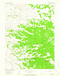
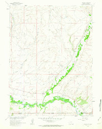
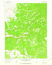
Medicine Bow National Forest dominates this landscape in Carbon County, Wyoming, defined by the high elevations of Green Ridge and the Sandstone Divide. In the early 1960s, this area remained largely a wilderness of drainages and seasonal water sources, where Savery Creek and Big Sandstone Creek carve through the high country. The small settlement of Tullis sits along a network of primitive roads and jeep trails that provide access to the interior for livestock management or early resource exploration. Evidence of these activities appears in labels like Coal Gulch and the Gaging Sta on the western edge of the quadrangle. The terrain is deeply textured with steep drops into Hell Canyon and Hayrack Draw, while remote water sources such as Pop Springs served as vital landmarks in this high-desert forest environment.
Find a feature on this map
22 named features on this map. Tap any name to fly to it.
Don’t see what you’re looking for? This feature index may not catch every label — zoom into the map to look around manually.
Map Details
Editions of this 1961 Tullis Map
3 editions found
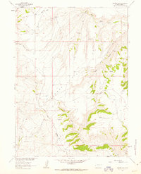
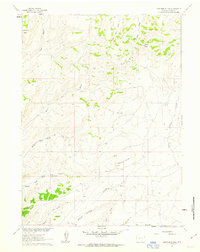
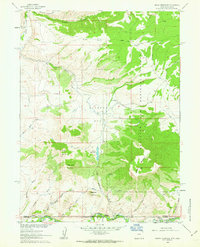
Other maps of this area

1932 · Savery
USGS Topo · 1:96,000

1940 · Savery
USGS Topo · 1:125,000

1954 · Rawlins
USGS Topo · 1:250,000

1958 · Rawlins
USGS Topo · 1:250,000
1961 · Divide Peak
USGS Topo · 1:24,000
1961 · Savery
USGS Topo · 1:24,000
1961 · Browns Hill
USGS Topo · 1:24,000
1961 · Ketchum Buttes
USGS Topo · 1:24,000
1961 · Grieve Reservoir
USGS Topo · 1:24,000
1961 · Singer Peak
USGS Topo · 1:24,000