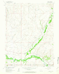
1961 Map of Savery
USGS Topo · Published 1963About this map
The Little Snake River meanders across the border of Wyoming and Colorado, defining the lower valley where the settlements of Savery and Slater were established. This 1961 field-checked survey reveals an agricultural and resource-driven landscape at the intersection of Carbon and Moffat Counties. Significant local history is preserved in the locations of the Baker Cem and Reader Cem, alongside early industry evidence such as the Pioneer Mine and various Gravel Pits.
Find a feature on this map
22 named features on this map. Tap any name to fly to it.
Don’t see what you’re looking for? This feature index may not catch every label — zoom into the map to look around manually.
Map Details
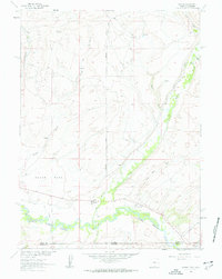
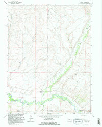
Editions of this 1961 Savery Map
3 editions found
Other maps of this area

1916 · Craig
USGS Topo · 1:125,000

1932 · Savery
USGS Topo · 1:96,000

1940 · Savery
USGS Topo · 1:125,000

1954 · Rawlins
USGS Topo · 1:250,000

1954 · Craig
USGS Topo · 1:250,000

1957 · Craig
USGS Topo · 1:250,000

1957 · Baggs
USGS Topo · 1:62,500

1958 · Rawlins
USGS Topo · 1:250,000

1958 · Craig
USGS Topo · 1:250,000

1960 · Craig
USGS Topo · 1:250,000