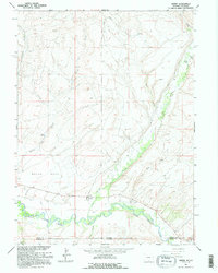
1961 Map of Savery
USGS Topo · Published 1995About this map
The high plains and rugged breaks along the Wyoming-Colorado border come into sharp focus in this 1961 field-checked record. Centered on the settlement of Savery, the landscape is defined by the valley of the Little Snake River and its confluence with Savery Creek. The survey documents a working landscape of ranching and early resource extraction, noting several Gravel Pits and the Pioneer Mine near the riverbanks. Local genealogy and history are preserved through the identification of the Baker Cem and Reader Cem, which sit amidst a network of irrigation works like Varm Ditch and First Ditch. The presence of a Rodeo Ground and a Landing Strip suggests the social and logistical hubs of this rural community. Prominent landforms such as Dolan Mesa and Browns Hill overlook the watercourses of Negro Creek and Joe Dutch Creek, providing a clear view of the area's natural drainage and settlement patterns.
Find a feature on this map
28 named features on this map. Tap any name to fly to it.
Don’t see what you’re looking for? This feature index may not catch every label — zoom into the map to look around manually.
Map Details
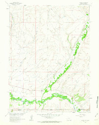
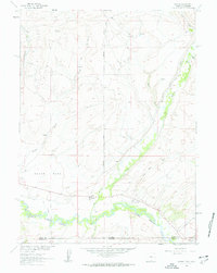
Editions of this 1961 Savery Map
3 editions found
Other maps of this area

1916 · Craig
USGS Topo · 1:125,000

1932 · Savery
USGS Topo · 1:96,000

1940 · Savery
USGS Topo · 1:125,000

1954 · Rawlins
USGS Topo · 1:250,000

1954 · Craig
USGS Topo · 1:250,000

1957 · Craig
USGS Topo · 1:250,000

1957 · Baggs
USGS Topo · 1:62,500

1958 · Rawlins
USGS Topo · 1:250,000

1958 · Craig
USGS Topo · 1:250,000

1960 · Craig
USGS Topo · 1:250,000