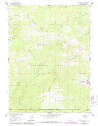
1961 Map of Solomon Creek
USGS Topo · Published 1984About this map
The Continental Divide crests through this high-altitude landscape where the Sierra Madre and Medicine Bow Mountains meet. This terrain, documented by the Geological Survey during the development of the Missouri River Basin, shows a complex network of headwaters including the Little Snake River and its numerous tributaries like Green Timber Creek and Solomon Creek. The human footprint is defined by extraction and recreation within the Medicine Bow National Forest, evidenced by the Verde Mine and the presence of a Gaging Sta along the river. Resource management is central to the area's history, from the high meadows of Hog Park to the waters of Hog Park Res, while numerous stock driveways and pack trails reveal the movement of livestock and travelers through these high mountain passes.
Find a feature on this map
71 named features on this map. Tap any name to fly to it.
Don’t see what you’re looking for? This feature index may not catch every label — zoom into the map to look around manually.
Map Details
Editions of this 1961 Solomon Creek Map
4 editions found
Other maps of this area

1911 · Hahns Peak
USGS Topo · 1:125,000

1913 · Hahns Peak
USGS Topo · 1:125,000

1932 · Savery
USGS Topo · 1:96,000

1939 · Saratoga
USGS Topo · 1:125,000

1940 · Savery
USGS Topo · 1:125,000

1954 · Rawlins
USGS Topo · 1:250,000

1954 · Craig
USGS Topo · 1:250,000

1957 · Craig
USGS Topo · 1:250,000

1958 · Rawlins
USGS Topo · 1:250,000

1958 · Craig
USGS Topo · 1:250,000