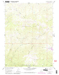
1961 Map of Solomon Creek
USGS Topo · Published 1984About this map
The Continental Divide winds through this high-country landscape along the Sierra Madre, marking the boundary between the Medicine Bow National Forest and the Routt National Forest at the Wyoming-Colorado border. The map documents the early 1960s configuration of resource management and recreation in the area, highlighted by the Verde Mine and a designated Gaging Sta along the Little Snake River.
Find a feature on this map
32 named features on this map. Tap any name to fly to it.
Don’t see what you’re looking for? This feature index may not catch every label — zoom into the map to look around manually.
Map Details
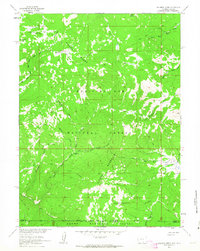
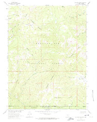
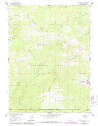
Editions of this 1961 Solomon Creek Map
4 editions found
Other maps of this area

1911 · Hahns Peak
USGS Topo · 1:125,000

1913 · Hahns Peak
USGS Topo · 1:125,000

1932 · Savery
USGS Topo · 1:96,000

1939 · Saratoga
USGS Topo · 1:125,000

1940 · Savery
USGS Topo · 1:125,000

1954 · Rawlins
USGS Topo · 1:250,000

1954 · Craig
USGS Topo · 1:250,000

1957 · Craig
USGS Topo · 1:250,000

1958 · Rawlins
USGS Topo · 1:250,000

1958 · Craig
USGS Topo · 1:250,000