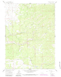
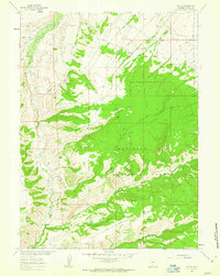
1961 Map of Singer Peak
USGS Topo · Published 1984About this map
Singer Peak dominates the high-altitude landscape of Carbon County, where the Continental Divide winds across the eastern edge of the quadrangle. This 1961 field-checked survey reveals a remote section of the Medicine Bow National Forest defined by its complex hydrology and early resource management. Long before modern water systems, the Deep Creek Ditch and Belvidere Ditch were carved into the slopes to divert flow, a testament to the region's historical ranching and mining infrastructure. Settlement is sparse and concentrated at the Johnson Ranch and Stratton Ranch, while recreation is anchored by the Little Sandstone Campground. The terrain is deeply dissected by drainage systems like Big Sandstone Creek and Mill Creek, with a solitary Mine located near Strawberry Gulch indicating the era's small-scale prospecting efforts.
Find a feature on this map
19 named features on this map. Tap any name to fly to it.
Don’t see what you’re looking for? This feature index may not catch every label — zoom into the map to look around manually.
Map Details
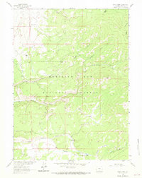
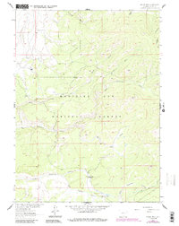
Editions of this 1961 Singer Peak Map
4 editions found
Other maps of this area

1932 · Savery
USGS Topo · 1:96,000

1940 · Savery
USGS Topo · 1:125,000

1954 · Rawlins
USGS Topo · 1:250,000

1958 · Rawlins
USGS Topo · 1:250,000

1961 · Divide Peak
USGS Topo · 1:24,000

1961 · Grieve Reservoir
USGS Topo · 1:24,000

1961 · Bridger Peak
USGS Topo · 1:24,000
1961 · Singer Peak
USGS Topo · 1:24,000
1961 · Tullis
USGS Topo · 1:24,000
1961 · Fletcher Peak
USGS Topo · 1:24,000