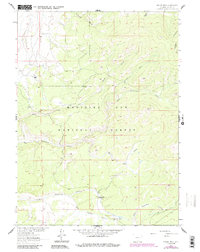
1961 Map of Singer Peak
USGS Topo · Published 1984About this map
The Continental Divide cuts through this high-country landscape in the southern Medicine Bow National Forest, marking the watershed of the Wyoming Rockies. This 1961 survey, later updated with woodland and road revisions, centers on the 9,530-foot Singer Peak and the complex drainage system of the Sierra Madre Range. While the terrain is dominated by steep gulches and creeks like Big Sandstone Creek and Dirtyman Fork, human activity is clearly visible in the hydraulic engineering of the Deep Creek Ditch and Belvidere Ditch. These irrigation features, along with scattered sites such as the Johnson Ranch, Stratton Ranch, and an unnamed Mine near the headwaters of Mill Creek, illustrate the region's historical reliance on seasonal ranching and resource extraction.
Find a feature on this map
24 named features on this map. Tap any name to fly to it.
Don’t see what you’re looking for? This feature index may not catch every label — zoom into the map to look around manually.
Map Details
Editions of this 1961 Singer Peak Map
4 editions found
Other maps of this area

1932 · Savery
USGS Topo · 1:96,000

1940 · Savery
USGS Topo · 1:125,000

1954 · Rawlins
USGS Topo · 1:250,000

1958 · Rawlins
USGS Topo · 1:250,000

1961 · Divide Peak
USGS Topo · 1:24,000

1961 · Grieve Reservoir
USGS Topo · 1:24,000

1961 · Bridger Peak
USGS Topo · 1:24,000
1961 · Singer Peak
USGS Topo · 1:24,000
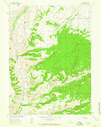
1961 · Tullis
USGS Topo · 1:24,000
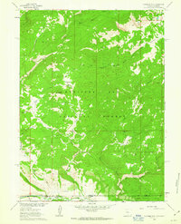
1961 · Fletcher Peak
USGS Topo · 1:24,000