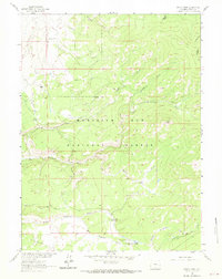
1961 Map of Singer Peak
USGS Topo · Published 1970About this map
Singer Peak dominates the high-altitude landscape of Carbon County in the early 1960s, marking a rugged intersection of the Continental Divide and the Medicine Bow National Forest. The map documents a sparsely populated ranching and mining frontier where early resource management is evident through engineering works like the Deep Creek Ditch and Belvidere Ditch. These irrigation systems, alongside the Sandstone Divide Trail, illustrate how early 20th-century settlers and government agencies adapted to the challenging hydrology of the high divide.
Find a feature on this map
20 named features on this map. Tap any name to fly to it.
Don’t see what you’re looking for? This feature index may not catch every label — zoom into the map to look around manually.
Map Details
Editions of this 1961 Singer Peak Map
4 editions found
Other maps of this area

1932 · Savery
USGS Topo · 1:96,000

1940 · Savery
USGS Topo · 1:125,000

1954 · Rawlins
USGS Topo · 1:250,000

1958 · Rawlins
USGS Topo · 1:250,000

1961 · Divide Peak
USGS Topo · 1:24,000

1961 · Grieve Reservoir
USGS Topo · 1:24,000

1961 · Bridger Peak
USGS Topo · 1:24,000
1961 · Singer Peak
USGS Topo · 1:24,000
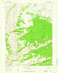
1961 · Tullis
USGS Topo · 1:24,000
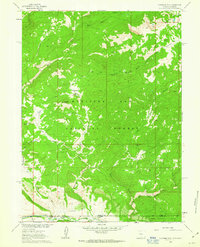
1961 · Fletcher Peak
USGS Topo · 1:24,000