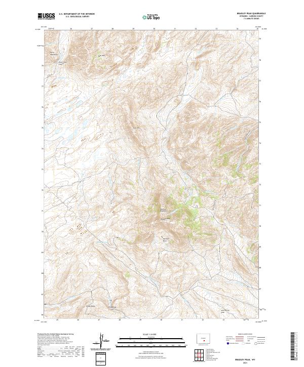
2021 Map of Bradley Peak
USGS Topo · Published 2021About this map
The Seminoe Mountains dominate this high-desert landscape in Carbon County, where the peak elevation at Bradley Peak overlooks the expansive Pattison Basin to the south. The terrain is defined by a dense network of seasonal drainages, including Twin Cr and Hurt Cr, which carve through the high ridges. To the north, the Ferris Mountains and the steep walls of Sand Creek Canyon mark the transition toward the northern plains, while Sand Springs provides a critical water source in an otherwise arid environment.
Find a feature on this map
38 named features on this map. Tap any name to fly to it.
Don’t see what you’re looking for? This feature index may not catch every label — zoom into the map to look around manually.
Map Details
Editions of this 2021 Bradley Peak Map
This is the sole edition of this map. No revisions or reprints were ever made.
Other maps of this area

1953 · Bradley Peak
USGS Topo · 1:24,000

1953 · Seminoe Dam
USGS Topo · 1:24,000

1953 · Wild Horse Mountain
USGS Topo · 1:24,000

1953 · Seminoe Dam SW
USGS Topo · 1:24,000

1953 · Ferris
USGS Topo · 1:24,000

1953 · Pathfinder Reservoir SW
USGS Topo · 1:24,000

1953 · Buzzard Ranch
USGS Topo · 1:24,000

1953 · Spanish Mine
USGS Topo · 1:24,000

1953 · Riddle Cut
USGS Topo · 1:24,000

1955 · Casper
USGS Topo · 1:250,000