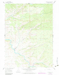
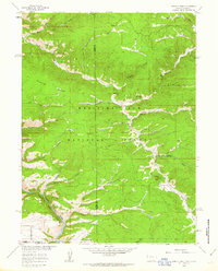
1961 Map of Overlook Hill
USGS Topo · Published 1984About this map
The North Platte River winds through the southwestern corner of this landscape, marking a significant hydrologic boundary in the southern reaches of the Medicine Bow National Forest. This 1961 survey, updated in the early 1980s, highlights a period when recreational infrastructure was expanding alongside traditional ranching operations. The presence of both the French Creek Ranch and the A Bar A Ranch indicates the enduring cattle-ranching heritage of the region, while the establishment of the Savage Run Wilderness reflects the mid-century shift toward federal conservation and protected primitive areas.
Find a feature on this map
28 named features on this map. Tap any name to fly to it.
Don’t see what you’re looking for? This feature index may not catch every label — zoom into the map to look around manually.
Map Details
Editions of this 1961 Overlook Hill Map
3 editions found
Other maps of this area

1906 · Medicine Bow
USGS Topo · 1:125,000

1908 · Medicine Bow
USGS Topo · 1:125,000

1939 · Saratoga
USGS Topo · 1:125,000

1954 · Rawlins
USGS Topo · 1:250,000

1958 · Rawlins
USGS Topo · 1:250,000
1961 · Elkhorn Point
USGS Topo · 1:24,000

1961 · Overlook Hill
USGS Topo · 1:24,000

1961 · Ryan Park
USGS Topo · 1:24,000
1961 · Trent Creek
USGS Topo · 1:24,000
1961 · Horatio Rock
USGS Topo · 1:24,000