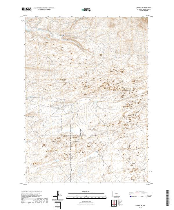
2021 Map of Lamont NE
USGS Topo · Published 2021About this map
Dorr Meadow and the high drainage basins of Carbon County define this landscape as it appeared in 2021. The map illustrates a high-altitude water management system through features like Marsh Ditch and Marsh Reservoir, essential for supporting livestock and agriculture in the arid Wyoming interior. A network of seasonal and perennial waterways, including Muddy Cr, Cress Cr, and Willow Cr, carve through the terrain, suggesting a landscape shaped by snowmelt and intermittent springs like Little Sand Spring.
Find a feature on this map
17 named features on this map. Tap any name to fly to it.
Don’t see what you’re looking for? This feature index may not catch every label — zoom into the map to look around manually.
Map Details
Editions of this 2021 Lamont NE Map
This is the sole edition of this map. No revisions or reprints were ever made.
Other maps of this area

1953 · Ferris
USGS Topo · 1:24,000

1953 · Spanish Mine
USGS Topo · 1:24,000

1953 · Riddle Cut
USGS Topo · 1:24,000

1955 · Casper
USGS Topo · 1:250,000

1958 · Casper
USGS Topo · 1:250,000

1960 · Separation Rim
USGS Topo · 1:24,000

1960 · Boggy Meadows
USGS Topo · 1:24,000

1961 · Lamont NE
USGS Topo · 1:24,000

1961 · Lamont
USGS Topo · 1:24,000

1962 · Casper
USGS Topo · 1:250,000