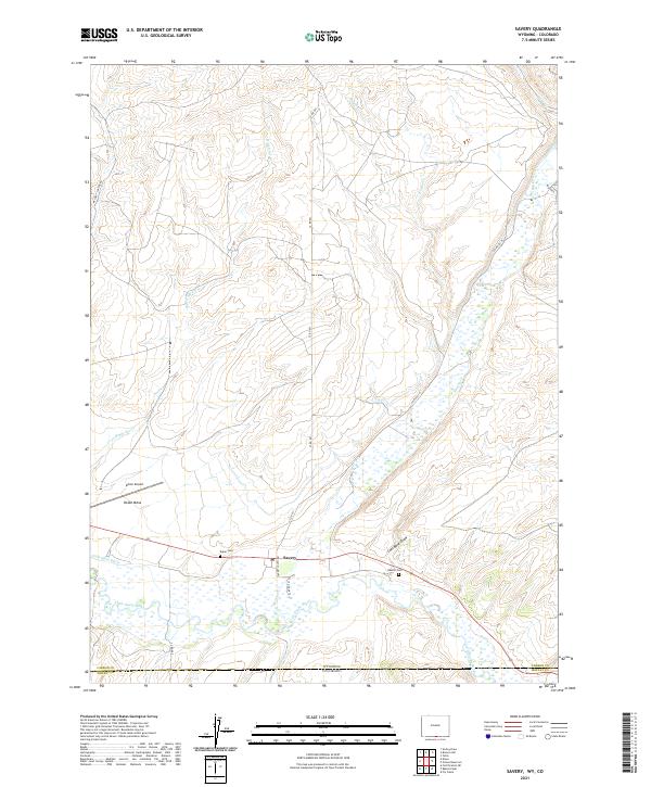
2021 Map of Savery
USGS Topo · Published 2021About this map
Savery sits at the heart of this valley landscape along the Wyoming-Colorado border, where the Little Snake River meets its tributaries. The settlement pattern here reflects the vital importance of water management in a high-elevation ranching environment, evidenced by the First Mesa Ditch and the winding course of Savery Cr. The map documents a quiet rural life anchored by family histories, with both the Baker Cem and Reader Cem positioned near the riverbanks.
Find a feature on this map
26 named features on this map. Tap any name to fly to it.
Don’t see what you’re looking for? This feature index may not catch every label — zoom into the map to look around manually.
Map Details
Editions of this 2021 Savery Map
This is the sole edition of this map. No revisions or reprints were ever made.
Other maps of this area

1916 · Craig
USGS Topo · 1:125,000

1932 · Savery
USGS Topo · 1:96,000

1940 · Savery
USGS Topo · 1:125,000

1954 · Rawlins
USGS Topo · 1:250,000

1954 · Craig
USGS Topo · 1:250,000

1957 · Craig
USGS Topo · 1:250,000

1957 · Baggs
USGS Topo · 1:62,500

1958 · Rawlins
USGS Topo · 1:250,000

1958 · Craig
USGS Topo · 1:250,000

1960 · Craig
USGS Topo · 1:250,000