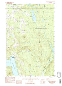
1989 Map of Morgan Center
USGS Topo · Published 1989About this map
The international border between Canada and the United States defines the northern edge of this landscape, where the town of Holland meets the Quebec-Vermont line. This region is characterized by high-elevation water bodies and wooded ridges, including the extensive Bill Sladyk State Wildlife Management Area which spans much of the central terrain. The settlement of Morgan Center sits at the northern tip of Seymour Lake, anchored by a local Cem and a nearby boat ramp that suggests the importance of the lake to the community's local life.
Find a feature on this map
43 named features on this map. Tap any name to fly to it.
Don’t see what you’re looking for? This feature index may not catch every label — zoom into the map to look around manually.
Map Details
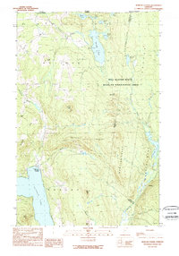
Editions of this 1989 Morgan Center Map
2 editions found
Other maps of this area

1919 · Lake Memphremagog
USGS Topo · 1:62,500

1920 · Derby
USGS Topo · 1:62,500

1923 · Lake Memphremagog
USGS Topo · 1:48,000

1924 · Island Pond
USGS Topo · 1:48,000

1925 · Memphremagog
USGS Topo · 1:62,500

1926 · Island Pond
USGS Topo · 1:62,500

1949 · Jackman
USGS Topo · 1:250,000

1950 · Lake Champlain
USGS Topo · 1:250,000

1950 · Lewiston
USGS Topo · 1:250,000

1953 · Island Pond
USGS Topo · 1:62,500