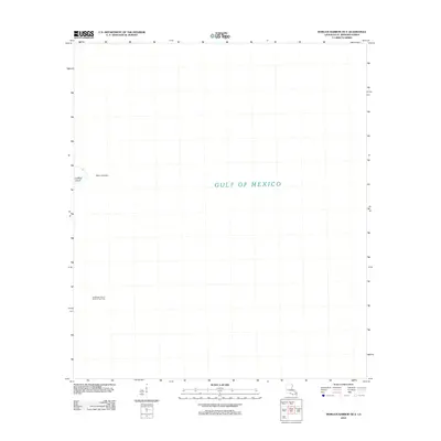
2012 Map of Morgan Harbor OE E
USGS Topo · Published 2012About this map
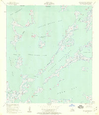
Comfort Island and the neighboring Point Comfort anchor this coastal survey of the Louisiana marshlands within Saint Bernard Parish. The map reveals a landscape defined by the vast reach of the Gulf of Mexico, where the boundary between land and water is increasingly fluid. Beyond the natural landforms, the inclusion of the Chandeleur Sound Block 51 Gas Field indicates the industrial footprint of offshore energy extraction during this era. This specific location captures a remote maritime environment where human infrastructure is limited to the specialized needs of the petroleum industry, leaving the coastal features as the primary landmarks for navigation and local history.
Find a feature on this map
5 named features on this map. Tap any name to fly to it.
Don’t see what you’re looking for? This feature index may not catch every label — zoom into the map to look around manually.
Map Details
Editions of this 2012 Morgan Harbor OE E Map
This is the sole edition of this map. No revisions or reprints were ever made.
Other maps of this area

1893 · La Fortuna
USGS Topo · 1:62,500

1893 · Chandeleur
USGS Topo · 1:62,500

1895 · Bodreau
USGS Topo · 1:62,500

1935 · Morgan Harbor
USGS Topo · 1:31,680

1935 · Mitchell Keys
USGS Topo · 1:31,680

1946 · Oak Mound Bayou
USGS Topo · 1:31,680
1954 · Mitchell Keys
USGS Topo · 1:31,680
1954 · Morgan Harbor
USGS Topo · 1:31,680
1954 · Oak Mound Bayou
USGS Topo · 1:31,680
1955 · Oak Mound Bayou
USGS Topo · 1:24,000