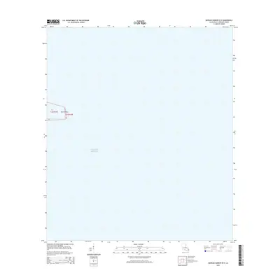
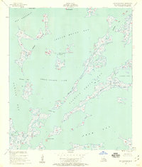
2015 Map of Morgan Harbor OE E
USGS Topo · Published 2015About this map
Point Comfort serves as the primary terrestrial landmark in this coastal area within Saint Bernard Parish, Louisiana. This 2015 survey by the U.S. Geological Survey illustrates the intersection of the vast Gulf of Mexico with the low-lying marshlands of the Mississippi River delta region. The map provides precise Public Land Survey System data, delineating the boundaries of township and range sections such as t14s r19e and t14s r20e. Because much of the landscape consists of open water and tidal flats, the topography is defined by the shifts in the shoreline and the subtle transition from marine to terrestrial environments. It is a vital record of the fragile coastal geometry in an era of significant environmental change for the Louisiana coast.
Find a feature on this map
7 named features on this map. Tap any name to fly to it.
Don’t see what you’re looking for? This feature index may not catch every label — zoom into the map to look around manually.
Map Details
Editions of this 2015 Morgan Harbor OE E Map
This is the sole edition of this map. No revisions or reprints were ever made.
Other maps of this area

1893 · La Fortuna
USGS Topo · 1:62,500

1893 · Chandeleur
USGS Topo · 1:62,500

1895 · Bodreau
USGS Topo · 1:62,500

1935 · Morgan Harbor
USGS Topo · 1:31,680

1935 · Mitchell Keys
USGS Topo · 1:31,680

1946 · Oak Mound Bayou
USGS Topo · 1:31,680
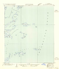
1954 · Mitchell Keys
USGS Topo · 1:31,680
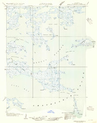
1954 · Morgan Harbor
USGS Topo · 1:31,680
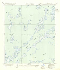
1954 · Oak Mound Bayou
USGS Topo · 1:31,680
1955 · Oak Mound Bayou
USGS Topo · 1:24,000