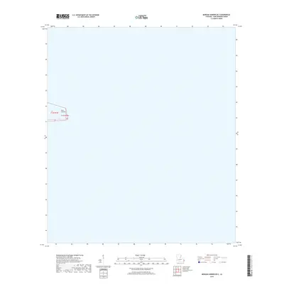
2018 Map of Morgan Harbor OE E
USGS Topo · Published 2018About this map
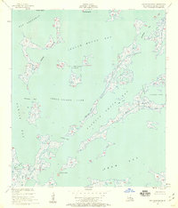
Point Comfort defines the limited land area of this coastal segment in Saint Bernard Parish. Positioned near the boundary of Township 14 South, Range 19 East and Range 20 East, this map primarily illustrates the open water and marine environment of the Louisiana coastline as it existed in 2018. The sparse labeling and vast expanse of water reflect the dynamic nature of the Gulf marshlands, where small landform identifiers like Point Comfort serve as critical navigational markers in an otherwise fluid landscape.
Find a feature on this map
6 named features on this map. Tap any name to fly to it.
Don’t see what you’re looking for? This feature index may not catch every label — zoom into the map to look around manually.
Map Details
Editions of this 2018 Morgan Harbor OE E Map
This is the sole edition of this map. No revisions or reprints were ever made.
Other maps of this area

1893 · La Fortuna
USGS Topo · 1:62,500

1893 · Chandeleur
USGS Topo · 1:62,500

1895 · Bodreau
USGS Topo · 1:62,500

1935 · Morgan Harbor
USGS Topo · 1:31,680

1935 · Mitchell Keys
USGS Topo · 1:31,680

1946 · Oak Mound Bayou
USGS Topo · 1:31,680
1954 · Mitchell Keys
USGS Topo · 1:31,680
1954 · Morgan Harbor
USGS Topo · 1:31,680
1954 · Oak Mound Bayou
USGS Topo · 1:31,680
1955 · Oak Mound Bayou
USGS Topo · 1:24,000