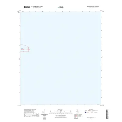
2020 Map of Morgan Harbor OE E
USGS Topo · Published 2020About this map
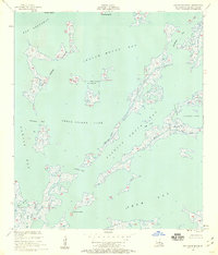
Comfort Island and Point Comfort emerge from the coastal waters of Saint Bernard Parish in this 2020 geospatial survey. This specific quadrant is dominated by open water, highlighting the delicate shoreline of the Louisiana coast where small landmasses and points of land serve as the primary navigational landmarks. The map documents the precise placement of township and range boundaries, specifically t14s r19e and t14s r20e, which provide essential spatial reference for this maritime environment. While largely an expanse of coastal hydrology, the map provides a contemporary record of these persistent landforms before the shifting tides of the Gulf of Mexico. It is an essential document for understanding the modern footprint of the Louisiana marshlands and the surviving features of the outer harbor reaches.
Find a feature on this map
4 named features on this map. Tap any name to fly to it.
Don’t see what you’re looking for? This feature index may not catch every label — zoom into the map to look around manually.
Map Details
Editions of this 2020 Morgan Harbor OE E Map
This is the sole edition of this map. No revisions or reprints were ever made.
Other maps of this area

1893 · La Fortuna
USGS Topo · 1:62,500

1893 · Chandeleur
USGS Topo · 1:62,500

1895 · Bodreau
USGS Topo · 1:62,500

1935 · Morgan Harbor
USGS Topo · 1:31,680

1935 · Mitchell Keys
USGS Topo · 1:31,680

1946 · Oak Mound Bayou
USGS Topo · 1:31,680
1954 · Mitchell Keys
USGS Topo · 1:31,680
1954 · Morgan Harbor
USGS Topo · 1:31,680
1954 · Oak Mound Bayou
USGS Topo · 1:31,680
1955 · Oak Mound Bayou
USGS Topo · 1:24,000