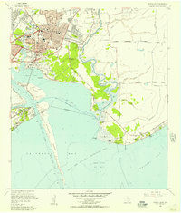
1956 Map of Morgan Point
USGS Topo · Published 1957About this map
Baytown dominates the northwestern portion of this mid-1950s survey, showing a landscape defined by the intersection of petrochemical industry and educational growth. The presence of the large Refinery and the expansive Goose Creek Oil Field along the shoreline of Tabbs Bay highlights the industrial character of the era. Educational and community institutions are well-documented, including Lee College, Robert E Lee High Sch, and St Josephs Sch.
Find a feature on this map
69 named features on this map. Tap any name to fly to it.
Don’t see what you’re looking for? This feature index may not catch every label — zoom into the map to look around manually.
Map Details
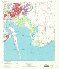
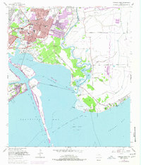
Editions of this 1956 Morgan Point Map
Other maps of this area

1916 · Burnett Bay
USGS Topo · 1:24,000

1916 · Morgan Point
USGS Topo · 1:24,000

1916 · Seabrook
USGS Topo · 1:24,000

1916 · Cedar Bayou
USGS Topo · 1:24,000

1916 · La Porte
USGS Topo · 1:24,000

1919 · Morgan Point
USGS Topo · 1:31,680

1919 · Cedar Bayou
USGS Topo · 1:31,680

1920 · Seabrook
USGS Topo · 1:31,680

1920 · La Porte
USGS Topo · 1:31,680

1920 · Highlands
USGS Topo · 1:31,680