Loading...
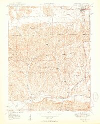
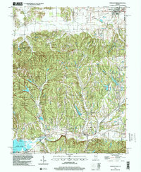
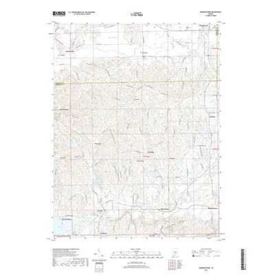
Loading map...1950 Map of Morgantown
USGS Topo · Published 1950About this map
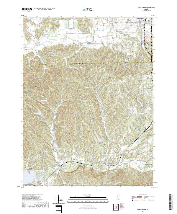
Morgantown stands at the northeastern edge of this mid-century landscape, where the Illinois Central railroad cuts through the southern hills toward Helmsburg and Trevlac. This area of central Indiana exhibits a transition from the agricultural lowlands near Indian Creek to the dense woodland of the Yellowwood State Forest. The map documents a rural society anchored by localized landmarks such as Mt Zion Ch and Beech Grove Ch, alongside scattered settlements like Mahalasville and Cornelius.
Find a feature on this map
38 named features on this map. Tap any name to fly to it.
Don’t see what you’re looking for? This feature index may not catch every label — zoom into the map to look around manually.
Map Details
Date Portrayed1950
Date Published1950
PublisherU.S. Geological Survey
Map TypeTopographic
Scale1:24,000
Physical Dimensions21.67 x 26.98 inches
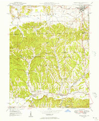
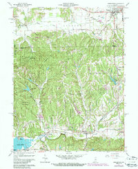
Editions of this 1950 Morgantown Map
2 editions found
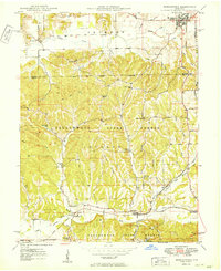
Historical Maps of Morgantown Through Time
9 maps found
Featured Locations
Source Details
SourceU.S. Geological Survey
CopyrightPublic Domain