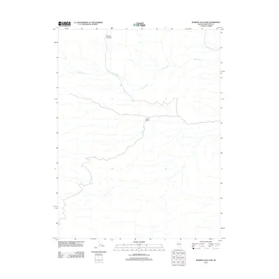
2012 Map of Mormon Jack Pass
USGS Topo · Published 2012About this map
Mormon Jack Pass stands as a primary topographical landmark in this high-altitude section of White Pine County, Nevada. The terrain is defined by a sparse but clear network of drainage systems and deep geographical depressions, most notably the winding course of Coyote Canyon. Water resources in this arid landscape are centered on Swan Creek, which flows across the upper elevations, providing a critical reference point for navigation and land use in a region primarily shaped by its vertical relief and natural passes. The map reflects a landscape where human infrastructure is minimal, focusing instead on the significant natural corridors that have historically dictated movement through the Great Basin range.
Find a feature on this map
3 named features on this map. Tap any name to fly to it.
Don’t see what you’re looking for? This feature index may not catch every label — zoom into the map to look around manually.
Map Details
Editions of this 2012 Mormon Jack Pass Map
This is the sole edition of this map. No revisions or reprints were ever made.
Other maps of this area

1956 · Ely
USGS Topo · 1:250,000

1959 · Ely
USGS Topo · 1:250,000

1963 · Ely
USGS Topo · 1:250,000
1986 · Mount Moriah
USGS Topo · 1:24,000
1986 · Little Horse Canyon
USGS Topo · 1:24,000
1986 · Sixmile Canyon
USGS Topo · 1:24,000
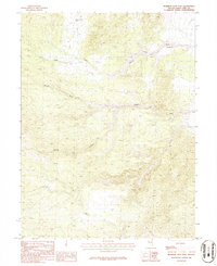
1986 · Mormon Jack Pass
USGS Topo · 1:24,000
1986 · Spring Mountain
USGS Topo · 1:24,000
1986 · White Cloud Point
USGS Topo · 1:24,000
1986 · Third Butte East
USGS Topo · 1:24,000