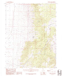
1986 Map of Sixmile Canyon
USGS Topo · Published 1986About this map
Humboldt National Forest dominates this section of the eastern Nevada wilderness, where the high-altitude landscape is defined by deep drainages and vital water sources. The map records several crucial water points including Sixmile Spring, Fourmile Spring, and Mud Spring, which were essential for both livestock and early prospectors traversing the high basins. Notable geologic features like the Natural Arch near Dry Canyon stand out alongside the network of canyons that carve through the range, such as Salt Marsh Canyon and Sheep Canyon. Mining activity is evident on the upper slopes, marked by Mine Shafts and a prospect near Rye Grass Canyon. The survey illustrates the stark contrast between the high forest ridges and the broad depression to the west, linked only by rugged 4wd tracks and primitive trails that follow the natural contours of the land.
Find a feature on this map
21 named features on this map. Tap any name to fly to it.
Don’t see what you’re looking for? This feature index may not catch every label — zoom into the map to look around manually.
Map Details
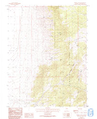
Editions of this 1986 Sixmile Canyon Map
2 editions found
Other maps of this area

1956 · Ely
USGS Topo · 1:250,000

1959 · Ely
USGS Topo · 1:250,000

1959 · Sacramento Pass
USGS Topo · 1:62,500

1963 · Ely
USGS Topo · 1:250,000
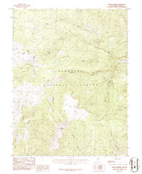
1986 · Mount Moriah
USGS Topo · 1:24,000
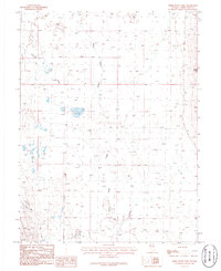
1986 · Third Butte West
USGS Topo · 1:24,000
1986 · Yelland Dry Lake
USGS Topo · 1:24,000
1986 · Mormon Jack Pass
USGS Topo · 1:24,000
1986 · Third Butte East
USGS Topo · 1:24,000
1986 · Old Mans Canyon
USGS Topo · 1:24,000