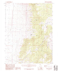
1986 Map of Mount Moriah
USGS Topo · Published 1986About this map
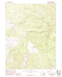
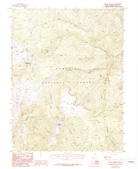
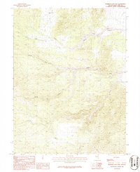
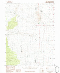
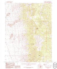
Mount Moriah dominates this high-altitude landscape in the mid-1980s, serving as a focal point within the Humboldt National Forest. The topography is defined by the massive plateau of The Table and a radial network of drainage systems including Smith Creek, Hampton Creek, and Silver Creek. This provisional survey captures a wilderness area shaped by geological scale and early resource exploration. Evidence of prospectors is scattered across the terrain, with several Mine Shafts and Prospects noted in the northwestern sections. A complex system of Pack Trails provides the primary means of navigation through steep drainages like Deerhead Canyon, Cricket Canyon, and Deep Canyon. The map records a transition from the lower elevations near Mud Spring Wash up into the high-country basins that define this section of the Snake Range.
Find a feature on this map
22 named features on this map. Tap any name to fly to it.
Don’t see what you’re looking for? This feature index may not catch every label — zoom into the map to look around manually.
Map Details
Editions of this 1986 Mount Moriah Map
2 editions found
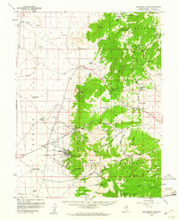
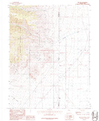
Other maps of this area

1956 · Ely
USGS Topo · 1:250,000

1959 · Ely
USGS Topo · 1:250,000
1959 · Sacramento Pass
USGS Topo · 1:62,500

1963 · Ely
USGS Topo · 1:250,000
1986 · The Cove
USGS Topo · 1:24,000

1986 · Little Horse Canyon
USGS Topo · 1:24,000
1986 · Sixmile Canyon
USGS Topo · 1:24,000
1986 · Mormon Jack Pass
USGS Topo · 1:24,000
1986 · Spring Mountain
USGS Topo · 1:24,000
1986 · Third Butte East
USGS Topo · 1:24,000