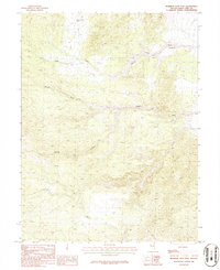
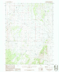
1986 Map of Mormon Jack Pass
USGS Topo · Published 1986About this map
Mormon Jack Pass and the surrounding high-altitude terrain of White Pine County define this mid-1980s topographic study. The landscape is characterized by complex drainage systems and narrow corridors, most notably Swan Creek Canyon and Coyote Canyon. Evidence of early resource exploration is visible through several prospects located northwest of the pass, providing a focal point for those interested in the mining history of the region. Distinctive geological landmarks like Devils Gate and the broad Marble Wash illustrate the dramatic relief of this section of the Great Basin. This provisional edition map maintains the focus on the natural environment and transit corridors through the mountains before significant modern development altered the area's character.
Find a feature on this map
7 named features on this map. Tap any name to fly to it.
Don’t see what you’re looking for? This feature index may not catch every label — zoom into the map to look around manually.
Map Details
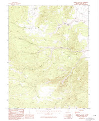
Editions of this 1986 Mormon Jack Pass Map
2 editions found
Other maps of this area

1956 · Ely
USGS Topo · 1:250,000

1959 · Ely
USGS Topo · 1:250,000

1963 · Ely
USGS Topo · 1:250,000
1986 · Mount Moriah
USGS Topo · 1:24,000
1986 · Little Horse Canyon
USGS Topo · 1:24,000
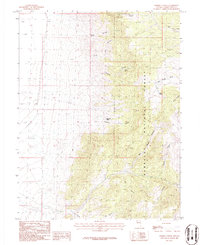
1986 · Sixmile Canyon
USGS Topo · 1:24,000
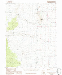
1986 · Spring Mountain
USGS Topo · 1:24,000
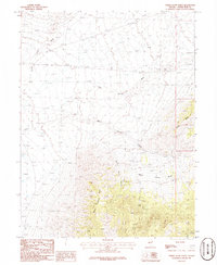
1986 · White Cloud Point
USGS Topo · 1:24,000
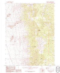
1986 · Third Butte East
USGS Topo · 1:24,000
1986 · Government Peak
USGS Topo · 1:24,000