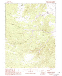
1986 Map of Mormon Jack Pass
USGS Topo · Published 1994About this map
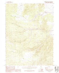
Mormon Jack Pass serves as a central landmark in this high-elevation landscape of White Pine County, where a network of ephemeral drainages and canyons defines the terrain. The presence of Prospects in the northern reaches suggests a history of mineral exploration, characteristic of the era's small-scale prospecting efforts in the Great Basin. This provisional survey captures the intersection of water and landform through features like Swan Creek and Devils Gate Creek, which carve their paths through the topography toward Marble Wash. Transportation across this challenging environment is limited to 4wd tracks, highlighting the isolated nature of the area during the early 1980s. The map provides an essential record of the seasonal drainage patterns found in Coyote Canyon, reflecting the intricate natural management of water in an arid high-desert environment.
Find a feature on this map
7 named features on this map. Tap any name to fly to it.
Don’t see what you’re looking for? This feature index may not catch every label — zoom into the map to look around manually.
Map Details
Editions of this 1986 Mormon Jack Pass Map
2 editions found
Other maps of this area

1956 · Ely
USGS Topo · 1:250,000

1959 · Ely
USGS Topo · 1:250,000

1963 · Ely
USGS Topo · 1:250,000
1986 · Mount Moriah
USGS Topo · 1:24,000
1986 · Little Horse Canyon
USGS Topo · 1:24,000
1986 · Sixmile Canyon
USGS Topo · 1:24,000
1986 · Mormon Jack Pass
USGS Topo · 1:24,000
1986 · Spring Mountain
USGS Topo · 1:24,000
1986 · White Cloud Point
USGS Topo · 1:24,000
1986 · Third Butte East
USGS Topo · 1:24,000