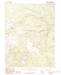
1986 Map of Mount Moriah
USGS Topo · Published 1994About this map
Silver Peak Mine Mine Shafts and a nearby Adit mark the industrial history of this high-elevation landscape in the Humboldt National Forest. The terrain is defined by a series of steep drainages, including Smith Creek, Deadman Creek, and Hendrys Creek, which radiate from the central massif of Mount Moriah. A prominent geological feature known as The Table sits as a high plateau above Big Canyon, accessible only by the network of Pack Trails that weave through the canyons. This 1980s survey reflects a wilderness environment where human presence is largely limited to mining prospects and backcountry routes such as those through Rye Canyon and Cricket Canyon. The absence of developed roads emphasizes the area's isolation during this period, with Chalk Spring and Mud Spring Wash serving as critical water points in the arid environment.
Find a feature on this map
21 named features on this map. Tap any name to fly to it.
Don’t see what you’re looking for? This feature index may not catch every label — zoom into the map to look around manually.
Map Details
Editions of this 1986 Mount Moriah Map
2 editions found
Other maps of this area

1956 · Ely
USGS Topo · 1:250,000

1959 · Ely
USGS Topo · 1:250,000

1959 · Sacramento Pass
USGS Topo · 1:62,500

1963 · Ely
USGS Topo · 1:250,000
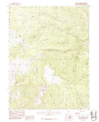
1986 · Mount Moriah
USGS Topo · 1:24,000
1986 · The Cove
USGS Topo · 1:24,000
1986 · Little Horse Canyon
USGS Topo · 1:24,000
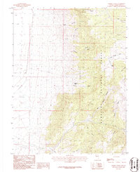
1986 · Sixmile Canyon
USGS Topo · 1:24,000
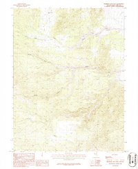
1986 · Mormon Jack Pass
USGS Topo · 1:24,000
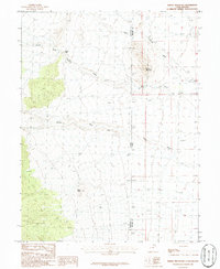
1986 · Spring Mountain
USGS Topo · 1:24,000