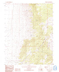
1986 Map of Sixmile Canyon
USGS Topo · Published 1993About this map
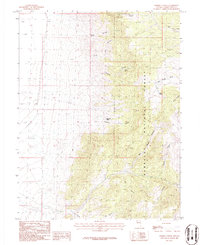
Humboldt National Forest dominates the eastern half of this terrain, where steep drainages and canyons carve through the high Nevada landscape. Mineral exploration is evident in the northeast, marked by several mine shafts and a prospect located near Rye Grass Canyon. The water distribution across this arid environment is clearly defined by isolated water sources such as Sixmile Spring, Fourmile Spring, and Mud Spring, which provide critical points of interest for historical land use study.
Find a feature on this map
18 named features on this map. Tap any name to fly to it.
Don’t see what you’re looking for? This feature index may not catch every label — zoom into the map to look around manually.
Map Details
Editions of this 1986 Sixmile Canyon Map
2 editions found
Other maps of this area

1956 · Ely
USGS Topo · 1:250,000

1959 · Ely
USGS Topo · 1:250,000

1959 · Sacramento Pass
USGS Topo · 1:62,500

1963 · Ely
USGS Topo · 1:250,000
1986 · Mount Moriah
USGS Topo · 1:24,000
1986 · Third Butte West
USGS Topo · 1:24,000
1986 · Yelland Dry Lake
USGS Topo · 1:24,000
1986 · Sixmile Canyon
USGS Topo · 1:24,000
1986 · Mormon Jack Pass
USGS Topo · 1:24,000
1986 · Third Butte East
USGS Topo · 1:24,000