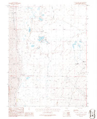
1986 Map of Yelland Dry Lake
USGS Topo · Published 1986About this map
Yelland Dry Lake Depression dominates this portion of eastern White Pine County, showing a complex network of ephemeral drainages and springs typical of the Great Basin's interior drainage systems. During the mid-1980s, this landscape was defined by its water sources, from the larger Taft Lake and Spring Valley Creek to specific points like South Millick Spring and North Millick Spring. A system of man-made features including a ditch, well, and corral suggests the area's use for livestock and grazing, while a Gravel Pit indicates local small-scale mineral extraction.
Find a feature on this map
22 named features on this map. Tap any name to fly to it.
Don’t see what you’re looking for? This feature index may not catch every label — zoom into the map to look around manually.
Map Details
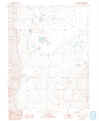
Editions of this 1986 Yelland Dry Lake Map
2 editions found
Other maps of this area

1952 · Ely
USGS Topo · 1:125,000

1956 · Ely
USGS Topo · 1:250,000

1959 · Ely
USGS Topo · 1:250,000

1959 · Sacramento Pass
USGS Topo · 1:62,500

1959 · Connors Pass
USGS Topo · 1:62,500

1959 · Schell Peaks
USGS Topo · 1:62,500

1963 · Ely
USGS Topo · 1:250,000

1981 · North Schell Peak
USGS Topo · 1:24,000
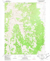
1981 · South Schell Peak
USGS Topo · 1:24,000
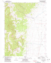
1981 · Cave Mountain
USGS Topo · 1:24,000