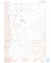
1986 Map of Yelland Dry Lake
USGS Topo · Published 1993About this map
Yelland Dry Lake Depression dominates this high-altitude basin in eastern Nevada, where intermittent drainage patterns reveal a landscape defined by seasonal water. Numerous creeks, including Mc Coy Creek, O'Toole Creek, and Stephens Creek, descend from the surrounding highlands toward the flat basin floor, though many disappear into the desert before reaching the center. The small settlement of Stephens sits at the base of the western slopes, serving as a rare point of habitation in this arid expanse.
Find a feature on this map
23 named features on this map. Tap any name to fly to it.
Don’t see what you’re looking for? This feature index may not catch every label — zoom into the map to look around manually.
Map Details
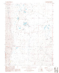
Editions of this 1986 Yelland Dry Lake Map
2 editions found
Other maps of this area

1952 · Ely
USGS Topo · 1:125,000

1956 · Ely
USGS Topo · 1:250,000

1959 · Ely
USGS Topo · 1:250,000

1959 · Sacramento Pass
USGS Topo · 1:62,500

1959 · Connors Pass
USGS Topo · 1:62,500

1959 · Schell Peaks
USGS Topo · 1:62,500

1963 · Ely
USGS Topo · 1:250,000

1981 · North Schell Peak
USGS Topo · 1:24,000
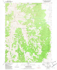
1981 · South Schell Peak
USGS Topo · 1:24,000
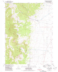
1981 · Cave Mountain
USGS Topo · 1:24,000