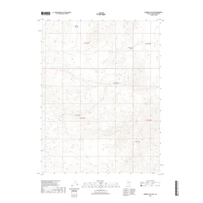
2018 Map of Mormon Jack Pass
USGS Topo · Published 2018About this map
Mormon Jack Pass serves as a high-elevation topographic focal point within the high desert landscape of White Pine County, Nevada. This 2018 survey documents a rugged, unpopulated interior where drainage patterns like Swan Creek and the deep incisions of Devils Gate Canyon define the movement of water across the eastern slope of the Snake Range. The map reveals a land structured by traditional township and range divisions, such as t19n r69e, highlighting the systematic grid applied to this high-relief terrain.
Find a feature on this map
10 named features on this map. Tap any name to fly to it.
Don’t see what you’re looking for? This feature index may not catch every label — zoom into the map to look around manually.
Map Details
Editions of this 2018 Mormon Jack Pass Map
This is the sole edition of this map. No revisions or reprints were ever made.
Other maps of this area

1956 · Ely
USGS Topo · 1:250,000

1959 · Ely
USGS Topo · 1:250,000

1963 · Ely
USGS Topo · 1:250,000
1986 · Mount Moriah
USGS Topo · 1:24,000
1986 · Little Horse Canyon
USGS Topo · 1:24,000
1986 · Sixmile Canyon
USGS Topo · 1:24,000
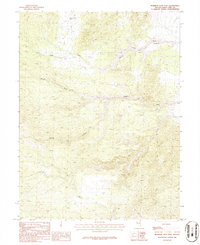
1986 · Mormon Jack Pass
USGS Topo · 1:24,000
1986 · Spring Mountain
USGS Topo · 1:24,000
1986 · White Cloud Point
USGS Topo · 1:24,000
1986 · Third Butte East
USGS Topo · 1:24,000