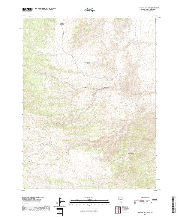
2021 Map of Mormon Jack Pass
USGS Topo · Published 2021About this map
Mormon Jack Pass and the high ridges of the Snake Range define this high-altitude landscape in White Pine County. The terrain is characterized by complex drainage systems and deep incisions like Devils Gate Canyon and Coyote Canyon, which channel seasonal water through the dry mountain passes. To the north, Swan Cr flows westward, while Marble Wash cuts through the eastern slopes, illustrating the topographic extremes of the Great Basin. This 2021 survey by the U.S. Geological Survey captures the modern configuration of the Public Land Survey System boundaries, including the intersections of t19n r69e, t19n r70e, t18n r69e, and t18n r70e. The map is a critical tool for understanding the contemporary geography of these remote Nevada ranges, where natural landmarks and administrative lines are the primary indicators of place.
Find a feature on this map
10 named features on this map. Tap any name to fly to it.
Don’t see what you’re looking for? This feature index may not catch every label — zoom into the map to look around manually.
Map Details
Editions of this 2021 Mormon Jack Pass Map
This is the sole edition of this map. No revisions or reprints were ever made.
Other maps of this area

1956 · Ely
USGS Topo · 1:250,000

1959 · Ely
USGS Topo · 1:250,000

1963 · Ely
USGS Topo · 1:250,000
1986 · Mount Moriah
USGS Topo · 1:24,000
1986 · Little Horse Canyon
USGS Topo · 1:24,000
1986 · Sixmile Canyon
USGS Topo · 1:24,000
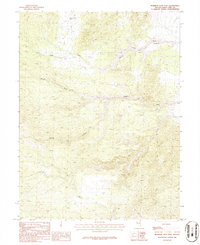
1986 · Mormon Jack Pass
USGS Topo · 1:24,000
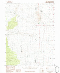
1986 · Spring Mountain
USGS Topo · 1:24,000
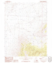
1986 · White Cloud Point
USGS Topo · 1:24,000
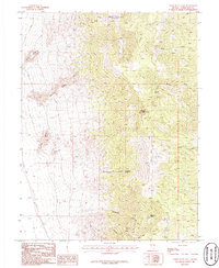
1986 · Third Butte East
USGS Topo · 1:24,000