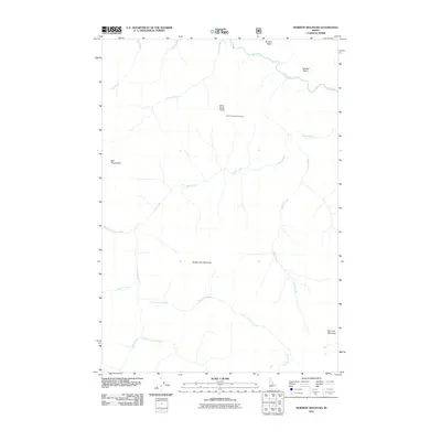
2011 Map of Mormon Mountain
USGS Topo · Published 2011About this map
Rush Creek Point Lookout stands as the primary human landmark in this high-altitude landscape of central Idaho, overlooking a complex drainage system within Valley County. The terrain is defined by several prominent summits, including Sheep Horn Mountain and Mormon Mountain, which guide the orientation of the surrounding wilderness. A network of waterways radiates from these heights, with the Rush Creek system branching into the West Fork and South Fork.
Find a feature on this map
18 named features on this map. Tap any name to fly to it.
Don’t see what you’re looking for? This feature index may not catch every label — zoom into the map to look around manually.
Map Details
Editions of this 2011 Mormon Mountain Map
This is the sole edition of this map. No revisions or reprints were ever made.
Other maps of this area

1930 · Casto
USGS Topo · 1:125,000

1956 · Elk City
USGS Topo · 1:250,000

1957 · Challis
USGS Topo · 1:250,000

1960 · Elk City
USGS Topo · 1:250,000

1960 · Challis
USGS Topo · 1:250,000

1962 · Mormon Mtn
USGS Topo · 1:24,000

1962 · Vinegar Hill
USGS Topo · 1:24,000

1962 · Bear Creek Point
USGS Topo · 1:24,000

1962 · Papoose Peak
USGS Topo · 1:24,000

1962 · Shellrock Peak
USGS Topo · 1:24,000