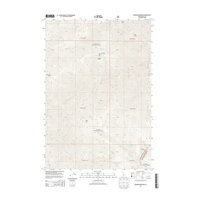
2013 Map of Mormon Mountain
USGS Topo · Published 2013About this map
Payette National Forest and the western edge of Salmon National Forest converge in this high-elevation wilderness within Valley County. The geography is defined by prominent peaks including Mormon Mtn and Sheep Horn Mtn, separated by deep drainages like Big Creek and the various forks of Rush Cr. A historical point of interest is the Rush Creek Point Lookout, situated on Big Creek Ridge, which once served as a vital station for fire monitoring in the Idaho backcountry. The terrain is marked by remote high-country features such as Bear Trap Saddle and alpine depressions like Lobauer Basin. This survey reflects the region's character as a roadless protected landscape, where access is dictated by the natural corridors of Canyon Cr and Two Point Cr.
Find a feature on this map
25 named features on this map. Tap any name to fly to it.
Don’t see what you’re looking for? This feature index may not catch every label — zoom into the map to look around manually.
Map Details
Editions of this 2013 Mormon Mountain Map
This is the sole edition of this map. No revisions or reprints were ever made.
Other maps of this area

1930 · Casto
USGS Topo · 1:125,000

1956 · Elk City
USGS Topo · 1:250,000

1957 · Challis
USGS Topo · 1:250,000

1960 · Elk City
USGS Topo · 1:250,000

1960 · Challis
USGS Topo · 1:250,000

1962 · Mormon Mtn
USGS Topo · 1:24,000

1962 · Vinegar Hill
USGS Topo · 1:24,000

1962 · Bear Creek Point
USGS Topo · 1:24,000

1962 · Papoose Peak
USGS Topo · 1:24,000

1962 · Shellrock Peak
USGS Topo · 1:24,000